The long-awaited, wide-ranging program for the combined Brisbane conferences in April has been released.
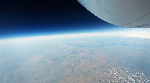
Stratoship tests persistent Earth observation platform
The company aims to reduce Australia’s dependence on foreign satellites for observation capabilities.
Read moreLatest Geospatial News
View all
ADVERTISEMENT
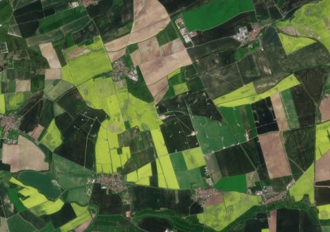
The companies’ new partnership will give farmers across the world access to near-daily satellite imagery.
 2025-03-12
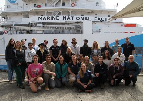
Seafloor mapping and the search for a historic shipwreck are on the agenda for the 10-day training voyage.
 2025-03-12
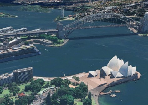
Esri has announced that Google’s Photorealistic 3D Tiles will be integrated into its ArcGIS suite.
 2025-03-12
The new QGIS WCPS Plugin enables seamless querying and visualisation of multidimensional datacubes.
 2025-03-12
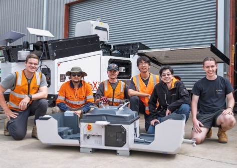
Sphere boosts its local manufacturing capabilities to meet market demand for its HubX solution.
 2025-03-12
ADVERTISEMENT
A new tutorial shows how to find harmonised Landsat and Sentinel-2 imagery by area of interest.
 2025-03-12
We speak with James Sadler, the new chair of the GCA Young and Emerging Professionals area of practice.
 2025-03-11
 Events
View All-
Sep 10
Survey and Spatial New Zealand Annual Conference
 Te Pae, Christchurch
 -
Sep 17
AIMS National Conference
 Novotel Sunshine Coast Resort, Queensland
 -
Sep 29
76th International Astronautical Congress
 Sydney, Australia
 -
Oct 7
INTERGEO 2025
 Frankfurt, Germany
 -
Oct 15
9th International Conference on Engineering Surveying
 Brno, Czech Republic


