New Zealand is looking to modernise its 2009-era Standard to take account of new technologies and practices.

Vale: Gladys West, 27 Oct 1930 – 17 January 2026
The geodesy and GNSS world is mourning the loss of Gladys West, one of its pioneers, who passed away on 17 January.
Read moreLatest Geospatial News
View all
ADVERTISEMENT
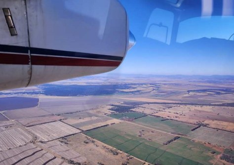
Airborne hyperspectral imaging could prove superior for identifying the kinds of trees that koalas prefer to eat.
 2026-01-19
The Earth observation spacecraft has been given new tasking to test its sensitive detectors during night passes.
 2026-01-19
Quantum navigation, SBAS, LEO PNT, resilient PNT, geodetic foundations, and many other topics are on the agenda.
 2026-01-16
Between 2025 and 2030, the global geospatial intelligence market is forecast to expand at a CAGR of 11.1%.
 2026-01-15
Atomionics has set up shop in Australia to use its quantum sensors to help miners prospect for critical minerals.
 2026-01-15
ADVERTISEMENT
The Third United Nations World Geospatial Information Congress will be held in November 2026.
 2026-01-15
A new desktop mapping tool aims to assist land managers protect estuarine areas along the NSW coastline.
 2026-01-15
 Events
View All-
Feb 4
PNT 2026 Conference
 Royal Randwick racecourse, Sydney
 -
Feb 17
Geo Week 2026
 Colorado Convention Center, Denver
 -
Mar 4
BYDA Utility Safety Conference 2026
 RACV Club Melbourne
 -
Mar 16
Association of Public Authority Surveyors (APAS) 2026 Conference
 Park Proxi Gibraltar, Bowral, NSW
 -
Mar 22
Hydrospatial 2026 Conference
 Shed 6, Wellington, New Zealand


