A multi-year project has taken Kiribati toward improved safety of navigation, resilience and economic growth.

Interview: Melissa Harris, CEO, Geoscience Australia
After her first year in Australia’s top geoscience job, we find out what’s on Melissa Harris’ agenda for 2026.
Read moreLatest Geospatial News
View all
ADVERTISEMENT
Stuart Minchin was previously Director General of the Pacific Community and has been involved with the UN-GGIM.
 2025-10-23
Enjoy our weekly compilation of general geospatial news snippets from across Australia and around the world.
 2025-10-22
Spatial Source and its newsletter have returned, and it's full steam ahead for the LOCATE conference in 2026.
 2025-10-22
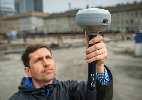
Emlid has introduced new RTK GNSS receivers, including the RS4, and the RS4 Pro with AR and camera capabilities.
 2025-10-21
Narelle Underwood, the first female Surveyor-General of NSW, has left to become Executive Director of Digital NSW.
 2025-10-21
ADVERTISEMENT
State survey mark spotting is a fun and educational activity that delivers real-world benefits to the surveying profession.
 2025-10-21
Registration is open for the upcoming AIN positioning, navigation and timing (PNT) conference in Sydney.
 2025-10-20
 Events
View All-
Mar 4
BYDA Utility Safety Conference 2026
 RACV Club Melbourne
 -
Mar 16
Association of Public Authority Surveyors (APAS) 2026 Conference
 Park Proxi Gibraltar, Bowral, NSW
 -
Mar 22
Hydrospatial 2026 Conference
 Shed 6, Wellington, New Zealand
 -
Mar 31
Geo Connect Asia 2026
 Sands Expo & Convention Centre, Singapore
 -
Apr 1
Digital Twin | BIM World 2026
 Paris, France


