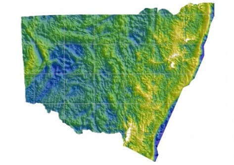
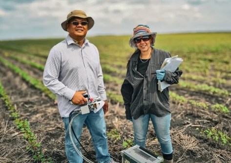
The Model covers more than 800,000 square km of NSW and the ACT, including 50 km off the NSW coastline.
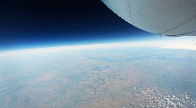
Stratoship tests persistent Earth observation platform
The company aims to reduce Australia’s dependence on foreign satellites for observation capabilities.
Read moreLatest Geospatial News
View all
ADVERTISEMENT
Australia’s free GPS processing service now uses the latest International Terrestrial Reference Frame.
 2024-08-20
The Kanyini, CUAVA-2 and Waratah Seed-1 satellites have been lofted into orbit aboard the SpaceX Transporter-11 flight.
 2024-08-19
Geospatial research and analysis are critical in providing the evidence base required for policy and planning.
 2024-08-19
The widely used Defense Advanced GPS Receiver has been put to the test under simulated jamming conditions.
 2024-08-16
New research aims to improve the inspection of roads, retaining walls and embankments from space.
 2024-08-14
ADVERTISEMENT
The ‘Armouring the Clock’ project aims to strengthen the ADF’s positioning, navigation and timing capabilities.
 2024-08-14
A federal grant will help UniSQ researchers team with colleagues in Vietnam to boost rice and fruit yields.
 2024-08-13
 Events
View All-
Jul 15
18th Australian Space Forum
 Adelaide Convention Centre
 -
Aug 3
International Geoscience and Remote Sensing Symposium
 Brisbane Convention & Exhibition Centre
 -
Aug 26
GIScience 2025
 Christchurch, New Zealand
 -
Sep 10
Survey and Spatial New Zealand Annual Conference
 Te Pae, Christchurch
 -
Sep 17
AIMS National Conference
 Novotel Sunshine Coast Resort, Queensland


