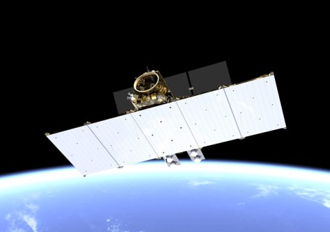
Maxar says its WorldView Legion fleet will provide up to 3.6m square km of 30cm-class imagery per day.

Ups and downs for fire spotting from space
As NASA’s Terra satellite begins to reach end-of-life, new fire-spotting software will be tested in orbit.
Read moreLatest Geospatial News
View all
ADVERTISEMENT
Low-Earth orbit is shaping up to be the next battleground for PNT, according to a new FrontierSI report.
 2025-02-10
The ‘supersite’ for Earth observation calibration and validation would be established in Finnish Lapland.
 2025-02-05
New senior executive appointments have been announced at Hexagon, Woolpert and Emesent.
 2025-02-05
The map shows the 15,000 hectares that have been acquired and protected over the past 52 years.
 2025-02-05
Planet’s SkySat imagery will sit alongside ESA’s Sentinel satellite data within the Copernicus services.
 2025-02-04
ADVERTISEMENT
Free Dragonette satellite imagery will be offered under the CC BY 4.0 creative commons license.
 2025-02-04
The early bird registration deadline for the combined conferences has been extended to 17 February.
 2025-02-04
 Events
View All-
Mar 4
BYDA Utility Safety Conference 2026
 RACV Club Melbourne
 -
Mar 16
Association of Public Authority Surveyors (APAS) 2026 Conference
 Park Proxi Gibraltar, Bowral, NSW
 -
Mar 22
Hydrospatial 2026 Conference
 Shed 6, Wellington, New Zealand
 -
Mar 31
Geo Connect Asia 2026
 Sands Expo & Convention Centre, Singapore
 -
Apr 1
Digital Twin | BIM World 2026
 Paris, France


