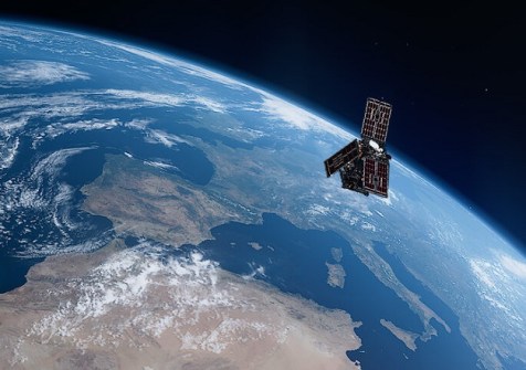



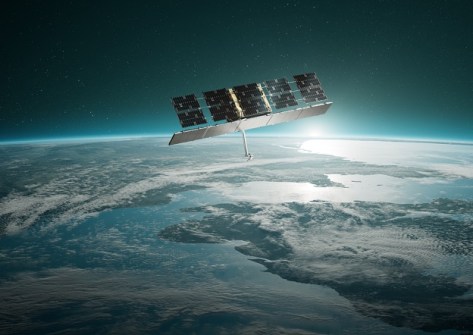
Radar satellites for Greece and multi-spectral satellites for Italy have been placed into Earth orbit.
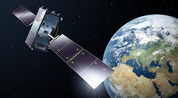
Latest two Galileo satellites join the fleet
Following their launch in December, Galileo satellites 33 and 34 have been commissioned into service.
Read moreInsights
View AllLatest Geospatial News
View all
ADVERTISEMENT
The ESA Scout mission will use GNSS reflectometry to measure and monitor global moisture content.
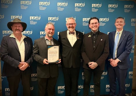
This week: Geospatial jobs, LINZ Landonline stats, Spatial Cadastral Fabric update, Minecraft award and more.
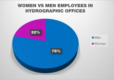
The number of women in national hydrographic offices has decreased by 12%, but leadership has risen by 5%.
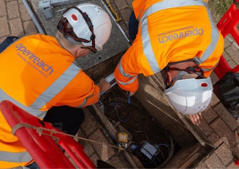
An ambitious project to map all underground pipes across three nations has moved closer to completion.
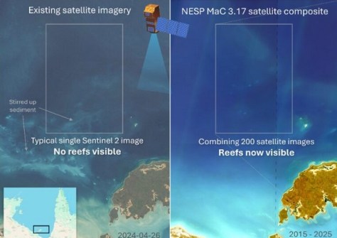
Better satellite imaging, machine learning and 700 hours of manual mapping have revealed hidden coral reefs.
ADVERTISEMENT
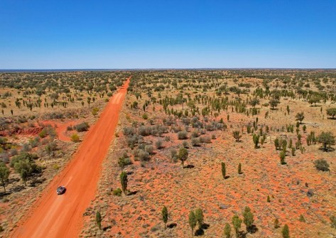
A milestone has been reached in the NT’s Regional Ecosystem and Landscape Mapping program.
Aidedo was founded based on the practical experience of CEO Aiden Tong while studying and working with many Civil Engineering and Land Surveying firms in developed countries.
With the success of the Payarri claim, native title now covers more than three quarters of Western Australia.
Cool Tools
View AllEvents
View All-
Jul 26
12D Tech Forum
Brisbane Convention & Exhibition Centre -
Aug 5
Putting the ‘Geo’ into Geospatial
Online webinar -
Aug 7
Spatial Information Day 2026
Adelaide Convention Centre -
Aug 13
MAGNET Summit 2026
Parliament House, 6 Macquarie Street, Sydney -
Aug 26
GeoCart'2026: 12th National Cartographic Conference
Victoria University of Wellington, New Zealand