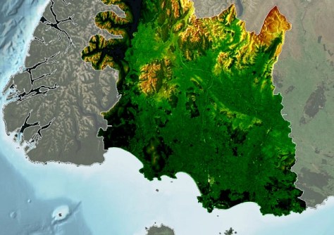
New Zealand’s Southland region is now LiDAR-mapped to 8m resolution in rural zones and 20cm in some urban areas.

WA native title claim secured after 30 years
With the success of the Payarri claim, native title now covers more than three quarters of Western Australia.
Read moreLatest Geospatial News
View all
ADVERTISEMENT
Before You Dig Australia’s new five-year strategic plan aims to use GIS and data to prevent damage and injury.
 2024-08-27
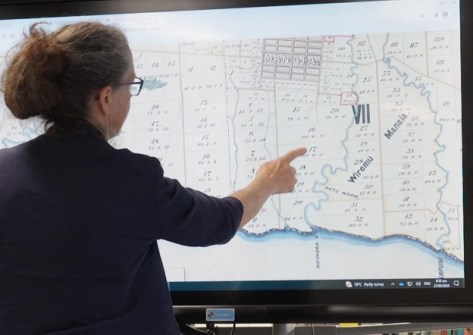
A new app is being used to help Māori reconnect with their whenua (land) and whakapapa (family tree).
 2024-08-26
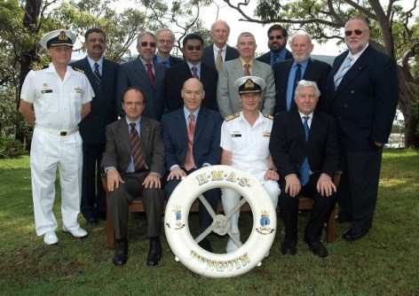
The Australasian Hydrographic Surveyors Certification Panel was the first globally recognised scheme.
 2024-08-26
Trish Scully will become the head of Landgate, WA’s land information authority, commencing on 2 September.
 2024-08-21
The Malya payload comprises a camera from Macquarie University and a computer from Spiral Blue.
 2024-08-21
ADVERTISEMENT
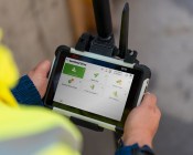
HP SitePrint improves accuracy and speed when doing site layouts, and eliminates the chance of manual errors.
 2024-08-21
The awards covered efforts such as sustainability, community impact, innovation, diversity and more.
 2024-08-20
 Events
View All-
Feb 4
PNT 2026 Conference
 Royal Randwick racecourse, Sydney
 -
Feb 17
Geo Week 2026
 Colorado Convention Center, Denver
 -
Mar 4
BYDA Utility Safety Conference 2026
 RACV Club Melbourne
 -
Mar 16
Association of Public Authority Surveyors (APAS) 2026 Conference
 Park Proxi Gibraltar, Bowral, NSW
 -
Mar 22
Hydrospatial 2026 Conference
 Shed 6, Wellington, New Zealand


