The collaboration will deliver a mobile solution that enables the visualisation of buried infrastructure.
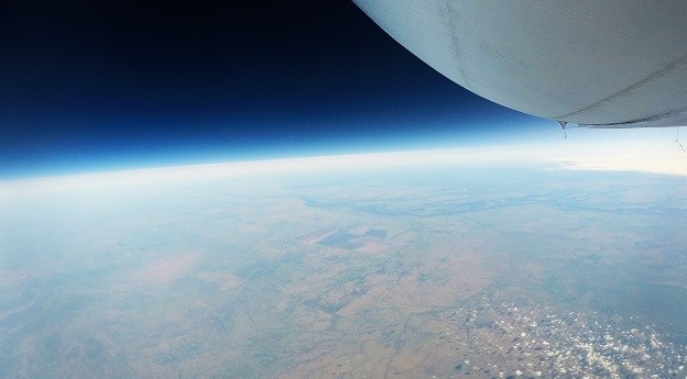
Stratoship tests persistent Earth observation platform
The company aims to reduce Australia’s dependence on foreign satellites for observation capabilities.
Read moreLatest Geospatial News
View all
ADVERTISEMENT
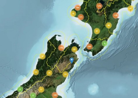
LINZ Basemaps data is being used to help control pest species and improve native habitats across New Zealand.
 2025-04-23
DEA Land Cover provides a detailed portrait of Australia made possible by nearly four decades of EO data.
 2025-04-23
Bentley’s Blyncsy solution will use Imagery Insights from Google Maps Platform to analyse roadway conditions.
 2025-04-23
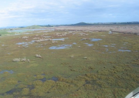
A tool that identifies areas at risk from groundwater flooding has been developed by New Zealand scientists.
 2025-04-23
This issue has it all: Rescuing reefs, mapping forests, tackling urban heat, digital construction and more!
 2025-04-22
ADVERTISEMENT
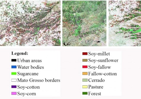
A new method more accurately defines areas of natural vegetation and agricultural production by crop type.
 2025-04-22
The Catalogue combines previously published datasets and spatially bound records into one searchable portal.
 2025-04-17
 Events
View All-
Jul 15
18th Australian Space Forum
 Adelaide Convention Centre
 -
Aug 3
International Geoscience and Remote Sensing Symposium
 Brisbane Convention & Exhibition Centre
 -
Aug 26
GIScience 2025
 Christchurch, New Zealand
 -
Sep 10
Survey and Spatial New Zealand Annual Conference
 Te Pae, Christchurch
 -
Sep 17
AIMS National Conference
 Novotel Sunshine Coast Resort, Queensland


