Quantum-enabled positioning, navigation and timing is one of the fields eligible for federal grant funding.
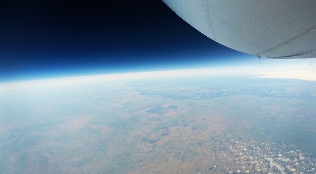
Stratoship tests persistent Earth observation platform
The company aims to reduce Australia’s dependence on foreign satellites for observation capabilities.
Read moreLatest Geospatial News
View all
ADVERTISEMENT
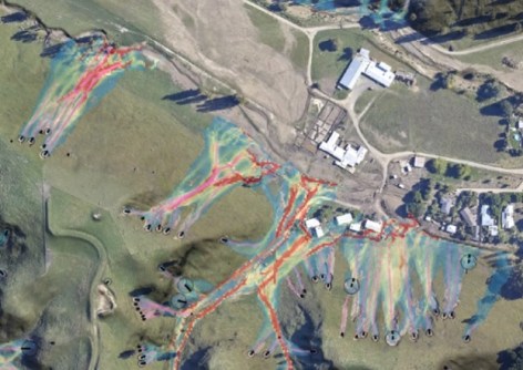
An open-source software tool proved invaluable in estimating risk when Cyclone Gabrielle struck New Zealand.
 2024-06-11
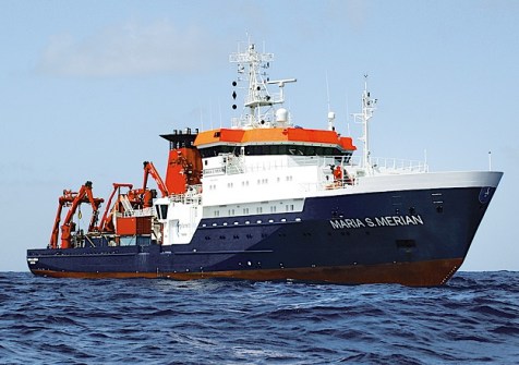
The two major marine initiatives have signed an agreement to work together on ocean research and exploration.
 2024-06-11
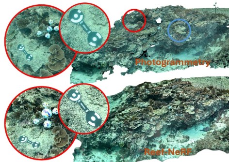
3D AI technology could be set to replace photogrammetry for monitoring the world-famous reef.
 2024-06-11
The 2024 Earth Observation Australia Awards will recognise those who are building the Australian EO community.
 2024-06-11
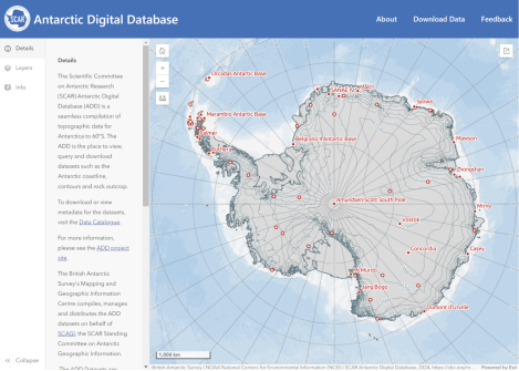
The new viewer displays all Antarctic Digital Database datasets plus other data via an open-access website.
 2024-06-05
ADVERTISEMENT
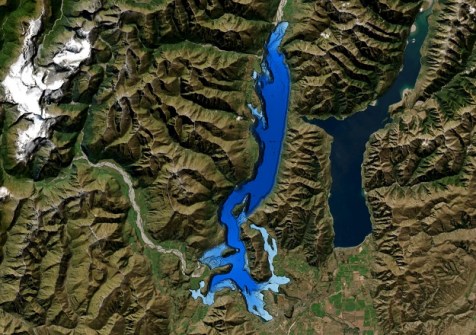
The work was done to better understand the lake’s structure after an active fault was discovered three years ago.
 2024-06-05
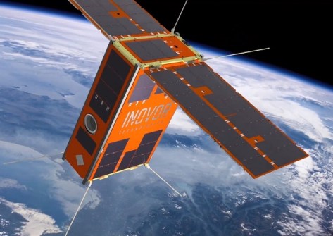
AI image processing aboard South Australia’s upcoming cube sat mission will advance bushfire detection.
 2024-06-05
 Events
View All-
Jul 15
18th Australian Space Forum
 Adelaide Convention Centre
 -
Aug 3
International Geoscience and Remote Sensing Symposium
 Brisbane Convention & Exhibition Centre
 -
Aug 26
GIScience 2025
 Christchurch, New Zealand
 -
Sep 10
Survey and Spatial New Zealand Annual Conference
 Te Pae, Christchurch
 -
Sep 17
AIMS National Conference
 Novotel Sunshine Coast Resort, Queensland


