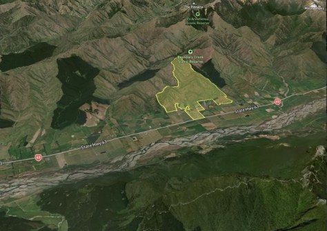
A new service makes it possible to view individual paddock boundary data and conduct virtual ‘walk throughs’.
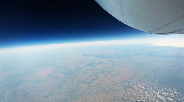
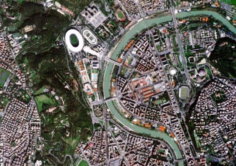
Stratoship tests persistent Earth observation platform
The company aims to reduce Australia’s dependence on foreign satellites for observation capabilities.
Read moreLatest Geospatial News
View all
ADVERTISEMENT
The FIG Working Week 2025 / Locate25 event is almost here, and the focus is on the future.
 2025-04-02
The Pathfinder Hawk spacecraft is one of a planned 60 that will comprise a ‘constellation of constellations’.
 2025-04-01
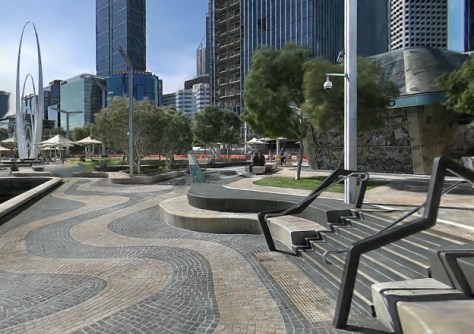
Using 3DGS and SLAM technology, XGRIDS bridges the gap between accuracy, efficiency and immersive visualisation.
 2025-04-01
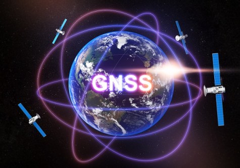
Formerly known as the IGNSS Conference, PNT2026 will showcase the latest in GNSS and PNT technologies.
 2025-03-31
In this exclusive interview, we find out more about Land Information New Zealand and its activities.
 2025-03-31
ADVERTISEMENT
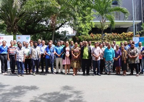
More than 30 people have graduated from a course on geospatial analysis of seagrass and mangrove ecosystems.
 2025-03-28
Lee brings wide remote sensing and tech experience to the role, having previously served with NASA and SpaceX.
 2025-03-27
 Events
View All-
Jul 15
18th Australian Space Forum
 Adelaide Convention Centre
 -
Aug 3
International Geoscience and Remote Sensing Symposium
 Brisbane Convention & Exhibition Centre
 -
Aug 26
GIScience 2025
 Christchurch, New Zealand
 -
Sep 10
Survey and Spatial New Zealand Annual Conference
 Te Pae, Christchurch
 -
Sep 17
AIMS National Conference
 Novotel Sunshine Coast Resort, Queensland


