The pilot will see public sector bodies able to access and test high-resolution EO data and services.

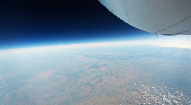
Stratoship tests persistent Earth observation platform
The company aims to reduce Australia’s dependence on foreign satellites for observation capabilities.
Read moreLatest Geospatial News
View all
ADVERTISEMENT
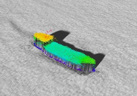
A CSIRO project team has used bathymetry to confirm the location of the wreck of MV Blythe Star.
 2023-05-16
ArgenTech Solutions will provide services such as flight operations and pilot training using Carbonix UASes.
 2023-05-16
Users will have access to tools and aerial imagery covering metro areas across Australia and New Zealand.
 2023-05-16
The Asia-Pacific Spatial Excellence Awards recognise excellence in and service to the geospatial sector.
 2023-05-15
Adrienne Meikle will serve until February 2024, bringing extensive public sector career experience.
 2023-05-08
ADVERTISEMENT
ST Engineering’s PolSAR satellite and Saudi Arabia’s EO and reflectometry CubeSat reach orbit.
 2023-05-08
The program aims to help young professionals develop their skills and achieve their career goals.
 2023-05-08
 Events
View All-
Aug 3
International Geoscience and Remote Sensing Symposium
 Brisbane Convention & Exhibition Centre
 -
Aug 26
GIScience 2025
 Christchurch, New Zealand
 -
Sep 10
Survey and Spatial New Zealand Annual Conference
 Te Pae, Christchurch
 -
Sep 17
AIMS National Conference
 Novotel Sunshine Coast Resort, Queensland
 -
Sep 29
76th International Astronautical Congress
 Sydney, Australia


