

Image credit: ©stock.adobe.com/au/Christian Pauschert
Nearly 800 professionals representing 90 countries have shared their views on the value of seabed mapping and where activities to map using modern digital methods should be focused.
The views were expressed as part of an international survey, which also identified some key challenges that need to be addressed in order to achieve the ambitious goal.
The findings come as the UN Ocean Decade endorses a range of new global Actions covering activities across the world’s ocean basins.
The survey — commissioned by The Nippon Foundation-GEBCO-Seabed 2030 Project and managed by Blue Economy company NLA International — drew responses from across the scientific, academic, philanthropic and business communities, as well as from government and defence officials.
Headline findings included:
- 40% of online respondents considered the main benefit of mapping the ocean floor to be ‘to advance scientific understanding of seabed characteristics,’ with 11% highlighting the need ‘to monitor environmental challenges over time’.
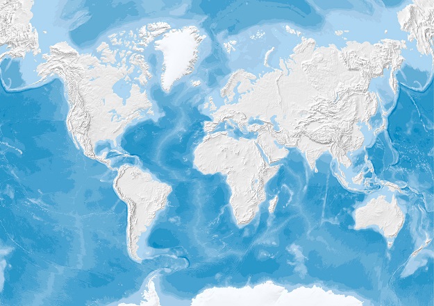
- Bathymetric data (81.67% of respondents) was the most desired geospatial information, followed by environmental data (69%), oceanographic data (65.33%) and classification of seabed features (63.33%).
- Respondents were interested mostly in water depths less than 200m (33.57%) and greater than 5750m (31.12%).
- An overwhelming majority of respondents (58.31%) would want access to any data sets via an online marine data portal.
The survey aimed to develop a more consolidated global view of seabed mapping needs in order to move towards an agreed list of strategically important priority areas for further action.
It also achieved its secondary aim of finding new data that could immediately feed into the emerging global map, with respondents identifying 154 potential sources of new data to be explored.
There was universal recognition from survey respondents for the urgent need to map the world’s seabed, and equally compelling praise and support of the Seabed 2030 project’s objectives.
However, some challenges were also identified. Many felt that current survey/environmental strategies and initiatives could do more to align within a more joined-up, coordinated approach.
A consistent message emerged that scarce resources are not being used efficiently as they could be as too many programs are seen to operate in isolation. In particular, seabed mapping programs run by industry and environmental bodies were identified as not complementing national hydrographic office strategies.
“We were completely bowled over by the volume and quality of the responses to our survey. The results have provided us with three new areas of value,” said Seabed 2030 Project Director, Jamie McMichael-Phillips.
“First of all, it’s great to have identified over 150 new data sources, and our teams are already working to bring that bathymetric data into the master database.
“Secondly, we now have a previously non-existent base list of areas the global community would like to see surveyed, and the reasons why they feel it is important to do so.
“This provides us with a really robust platform from which to develop a more targeted list of priority activity areas to help us drive towards our target.
The survey findings will now be converted into a draft global priority list for seabed mapping activities that reflects all maritime sectors and users of seabed bathymetric data.
This draft priority list will be shared with the world’s hydrographic, oceanographic and policy agencies in order to move jointly towards an internationally recognised and supported prioritised list for seabed mapping that reflects potential cross-sector environmental, social and economic benefits across all areas.
Stay up to date by getting stories like this delivered to your inbox.
Sign up to receive our free weekly Spatial Source newsletter.


