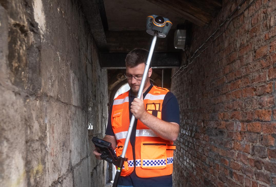
Surveying becomes more challenging when satellite signals are obstructed by dense vegetation, buildings or structures. Conventional GNSS receivers can struggle to maintain reliable positioning, forcing surveyors to change equipment or working methods.
At Locate26, CHC Navigation (CHCNAV) will showcase the ViLi i100 Visual-LiDAR GNSS RTK receiver, an integrated surveying solution combining GNSS, LiDAR, IMU and imaging technologies. Designed for demanding field conditions, it helps surveyors maintain positioning accuracy, measure inaccessible points and perform earthwork calculations using a single device.
Reliable Positioning Beyond GNSS Limitations
The ViLi i100 combines advanced GNSS signal filtering with multi-sensor fusion to maintain stable, centimetre-level positioning in challenging environments such as urban streets, dense vegetation and construction sites. When satellite signals are lost, its SFix positioning engine uses LiDAR data captured at 860,000 points per second and SLAM technology to maintain 5 cm accuracy within 20 metres of the last reliable GNSS position under specified conditions. Surveyors can continue working through short GNSS outages without immediately switching to another instrument.
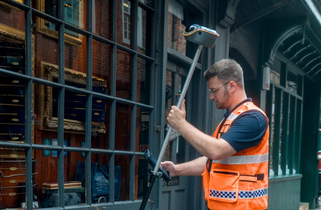
Faster, Safer Contactless Surveying
With Vi-LiDAR technology, surveyors can capture a scene once and select multiple target points directly from the captured imagery, eliminating the need to physically occupy every measurement location. Its integrated 8 MP telephoto camera supports measurements with 5 cm accuracy at distances of 15 metres. Points near traffic, across obstacles and in difficult-to-access areas can be measured more efficiently reducing time spent in the field.
On-Site Earthwork Volume Calculations
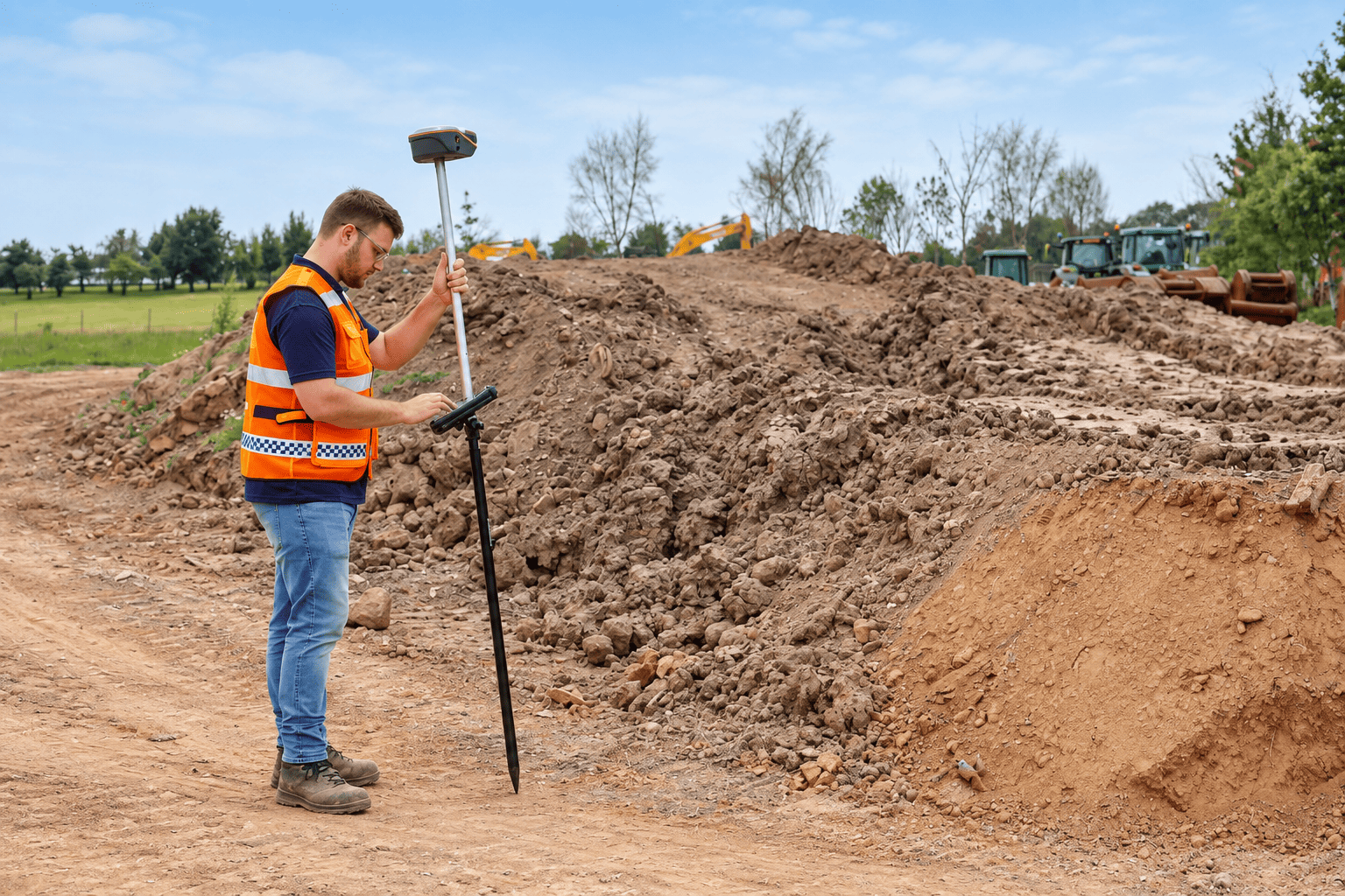
The ViLi i100 also simplifies earthwork measurements. Combining LiDAR scanning with CHCNAV LandStar software, surveyors can calculate cut-and-fill volumes directly on site. By scanning a surface and defining its boundaries, teams can obtain volume results without separate processing equipment, helping accelerate site inspections, earthwork verification and project reporting.
Experience the ViLi i100 at Locate26
Discover how the CHCNAV ViLi i100 extends conventional GNSS surveying with LiDAR-powered positioning, contactless measurements and practical field applications.
Visit CHC Navigation at Booth 21a, 24–26 November 2026, at the Melbourne Convention & Exhibition Centre to experience the ViLi i100 first-hand and discuss your surveying requirements with our team.