

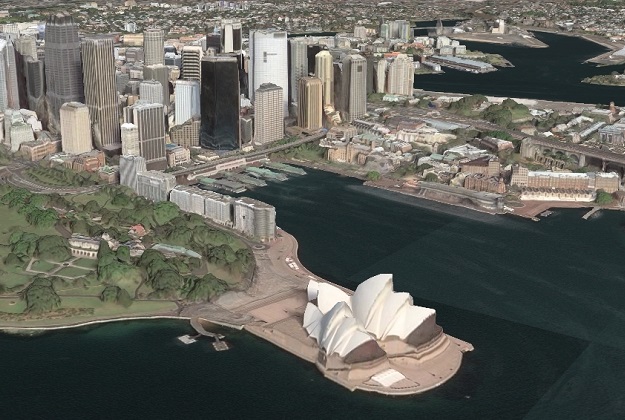
A Maxar 3D Surface Model view of the Sydney Opera House. Image courtesy Maxar Technologies.
Maxar Technologies has announced that it has delivered 3D data products and high-resolution satellite imagery to the Australian Department of Defence under recent multi-million-dollar contracts.
“Maxar’s high-resolution 3D data and satellite imagery are integral for high-confidence mapping, planning and operational support, which can help end users make better decisions and save lives, resources and time,” said Tony Frazier, Maxar’s Executive Vice President of Global Field Operations.
“Maxar is proud to expand our partnership with the Australian Department of Defence by providing our newest 3D data products.”
The company’s 3D data suite includes a 3D Surface Model that provides a high-fidelity, positionally accurate and photorealistic view of terrain and surface features and textures.
The suite’s Digital Terrain Model is a bare Earth elevation data layer generated with fully automated processing.
The Department of Defence has been a Maxar Direct Access Program partner since 2018, and has the ability to directly task and download satellite imagery from Maxar’s current constellation in real-time to its ground station.
Stay up to date by getting stories like this delivered to your inbox.
Sign up to receive our free weekly Spatial Source newsletter.


