Australian GIS developer, North Road, is partnering with UK-based counterpart, Lutra Consulting to push the capabilities of QGIS in the 3D space.
The crowdfunding campaign aims raise $137,500 (€85,000) to enable further development of QGIS, to take “working with 3D data in QGIS to yet another level,” according to the companies.
The main theme is to bring state-of-the-art reality capture technology to QGIS, along with a major upgrade to animation support.
All up, the developers plan to add or improve:
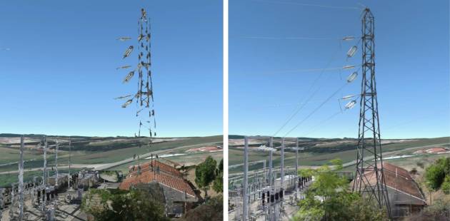
- Reality capture through 3D Gaussian splatting;
- Upgraded animation support, which is currently ‘super fiddly’ and enable use in 2D and 3D maps;
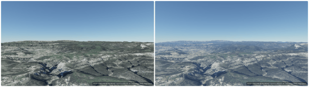
- Atmospheric scattering by harnessing the recent functionality in QGIS into producing automated atmospheric effects e.g. dawn, midday dusk etc;
- Scene presets, such as switching between CAD/BIM and Realistic;
- Identify tool for points and lines (e.g. trees and billboards); and
- Gamepad control to move through 3D scenes.
“Creating animations of 3D maps in existing QGIS versions can be a fiddly, frustrating process,” the developers say.
“We realise that there’s a need for improving this drastically! We also realise that some users have a desire to create animated versions of their 2D maps.
“In this project we will address both use cases, by introducing a flexible animation system which can be used for both 2D and 3D maps.”
The developers have produced an animation (below) that showcases the benefits of Gaussian splatting. “Now imagine being able to open this kind of data in QGIS, have such scans overlaid with the rest of your geospatial data in 2D and 3D map canvas! That’s exactly what we’d like to do,” they say.
A full outline of all the intended improvements, along with information on how to contribute to the campaign, is available online.
North Road is one of the leading forces in QGIS development, having added many new features over the years with a focus on cartographical and analytical capabilities. Lutra Consulting (the home of Mergin Maps) has contributed to QGIS for more than 10 years and is leading development of the 3D map view.
The developers hope to deliver the promised features over QGIS releases in 2027 (versions 4.6, 4.8 and 4.10).