

Delta Drone International’s Rocketmine LiDAR service is helping a Ghanaian mine expand.
Australian-headquartered drones-as-a-service provider Delta Drone International has had its contract with one of the world’s largest gold miners expanded.
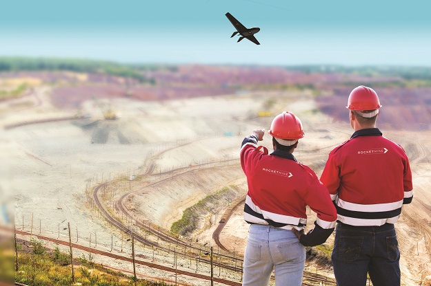
Delta Drone’s LiDAR capabilities will help the undisclosed mining company in Ghana to assess potential site expansions in real time at several locations.
Through its mining specialist brand, Rocketmine, Delta Drone has provided drone-based data services for the mining conglomerate for the last three years.
“The challenge for this customer is accessing real-time earth quality reports to most efficiently assess mine site expansion options,” said Delta Drone International CEO, Christopher Clark.
“Through our aerial LiDAR capabilities, we will provide the data they need, in the timeframe they need it and allow them to solely focus on their core business operations.”
Clark says his company is “seeing increased demand to use our LiDAR capability to create these ‘digital elevation models’” that enable customers to “see below thick forest and other surface vegetation and more accurately determine site suitability for certain types of infrastructure and how a site can be used”.
Stay up to date by getting stories like this delivered to your inbox.
Sign up to receive our free weekly Spatial Source newsletter.


