


Using 3DGS and SLAM technology, XGRIDS bridges the gap between accuracy, efficiency and immersive visualisation.
PARTNER FEATURE
Building information modelling (BIM) has long been a cornerstone of modern construction and surveying. However, traditional methods for capturing as-built data and integrating it into BIM often fall short due to inefficiencies and inaccuracies in data collection and processing.
XGRIDS’ Lixel series SLAM-based scanners generate centimetre-level accurate point cloud data, which can be exported in formats like LAS and RCP, and directly imported into BIM platforms such as Autodesk Revit. This streamlined workflow reduces manual intervention, enhances model accuracy and accelerates project timelines.
Gaussian splats
Gaussian splats (3DGS) represent a paradigm shift in 3D modelling and visualisation for the surveying industry. Unlike traditional mesh-based models, Gaussian splats use point-based representations, allowing for:
- High-resolution visualisation: Rich detail and smooth rendering for large-scale environments.
- Efficiency: Faster processing times compared to traditional modelling techniques.
- Interactivity: Enhanced user experiences in real-time applications, such as immersive VR environments.
3DGS offers the ability to create lightweight yet visually stunning 3D representations of sites, structures and terrain, enabling more informed decision-making across project stakeholders.
SLAM technology for complex environments
XGRIDS’ SLAM-based scanners excel in environments where traditional methods struggle. From sprawling urban landscapes to confined indoor spaces, the combination of LiDAR, IMU and visual data ensures accurate spatial information even in GNSS-denied environments.
For example:
- Infrastructure Surveys: Capturing as-built conditions of bridges, tunnels and railways with high accuracy.
- Urban Development: Generating detailed 3D digital twins for urban planning.
- Conservation: Documenting historical landmarks for conservation and management.
Future-ready for the surveying industry
The adoption of XGRIDS’ technology marks a significant leap forward for surveyors aiming to embrace digital transformation. By combining the precision of SLAM-based data acquisition with the visual power of Gaussian splats, XGRIDS is helping the industry transition toward smarter, faster, and more collaborative workflows.
From enhancing the accuracy of as-built documentation to unlocking new possibilities in immersive visualisation, XGRIDS empowers surveyors to deliver results that are not only efficient but also visually impactful. As the surveying landscape continues to evolve, XGRIDS stands at the forefront, driving innovation and redefining what’s possible in spatial data acquisition and processing.
Road-test XGRIDS today!
Try XGRIDS demo hardware for yourself. Grab a loaner from Mangoesmapping or access Australian project data and demo licenses for the Lixel range of software for visualisation and data processing.
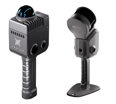
XGRIDS LixelKity K1 and Lixel L2 Pro
mangoesmapping.com.au/products/xgrids/
sales@mangoesmapping.com.au
Call: 07 4253 7000


