

Image courtesy Microdrones
GE and Microdrones have formed a global licensing partnership, in which Microdrones will bring the GE industrial drone line to market across six continents.
The tie up will match GE’s drone expertise with Microdrones’ survey equipment.
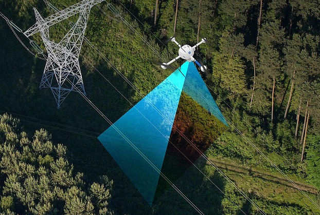
The partnership will have a particular focus on providing equipment and services for digital twins, digital terrain models, maps and other geospatial products in land surveying, construction, precision agriculture, mining, power line inspection, forestry management and other sectors.
The GE industrial drone line is manufactured at the Microdrones facility in Siegen, Germany.
“This is a win for both GE and Microdrones, and most importantly our mutual customers,” said Microdrones CEO, Vivien Heriard Dubreuil.
“This is just the beginning of something very promising as we work with Microdrones to scale this up and offer a very powerful and trusted drone surveying solution to our industrial customers worldwide,” added GE Licensing Senior Managing Director, Thomas Buccellato.
GE has become an investor in Microdrones’ parent company, mdGroup, and has committed to continue to invest in the near future. A GE representative has joined the mdGroup board of directors in an observer role.
Stay up to date by getting stories like this delivered to your inbox.
Sign up to receive our free weekly Spatial Source newsletter.


