

It’s International GIS Day today, celebrated every year on the third Wednesday in November and with this year’s event marking the 25th anniversary of the day’s founding.
The event began in 1999, when Esri’s Jack Dangermond, along with Dr Roger Tomlinson and students, celebrated the first GIS Day at Murch Elementary School in Washington, DC.
GIS Day is billed as being a day dedicated to educating and inspiring students, colleagues and the wider community, showing them how GIS contributes to the betterment of society.
Each year, businesses, government agencies, research and educational institutions, and other organisations around the world are encouraged to host one or more events to help spread the word about the value of GIS.
This year’s theme, ‘Mapping Minds, Shaping the World,’ aims to show how GIS technology has “changed the way we perceive, navigate and shape our world”.
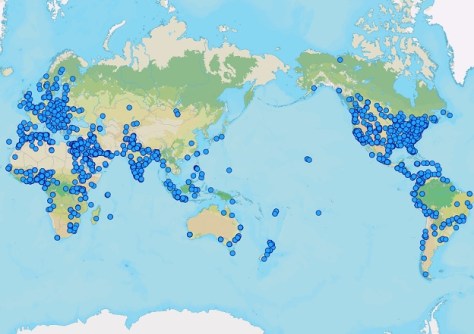
At last count this morning, around 30 events were listed as being planned across Australia, New Zealand and the South Pacific.
And if you’re in the mood for some interesting reading, here are some recent GIS-related articles we’ve published:
- Mapping vegetation for managing the land
- NZ project leads to rapid predictive flood mapping
- New national land registry ‘supergroup’ formed
- Geospatial to boost economy by $689 billion by 2034
- Bushfire risk index aims to protect Hobart’s environs
- Maps reveal route for wind turbine transportation
- OGC releases new API Maps core standard


