

The Australian Association for Uncrewed Systems (AAUS) has released the results of its latest drone industry survey, and it shows that the surveying sector is one of the largest uses of drones across the country.
The annual survey was open to everyone in the Australian remotely piloted aircraft systems (RPAS) sector, with the 152 respondents encompassing ReOC holders, excluded category operators, manufacturers and service providers.
The survey found that the Australian drone industry is diverse, ranging from sole traders to multi-national organisations, but with the largest group of respondents coming from organisations that have 10 or fewer employees.
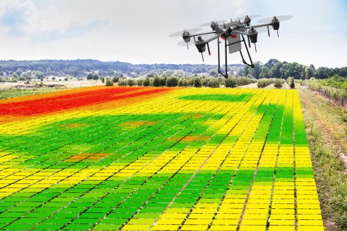
Drones are currently most commonly used for environment and land management, surveying, and building and construction, although agriculture and farming, emergency services and research use is expected to increase over the next few years.
Compared to the 2022 AAUS survey, there has been an increased usage of RPAS in surveying and a decrease in the use of fixed-wing RPA operations.
Most organisations use multi-rotor drones in the very small and small weight categories under standard operating conditions, but some operators are looking to achieve BVLOS operations, including at night and for close proximity operations, within the next 12 months.
The survey showed that users consider regulatory factors to be the biggest impediment to the drone industry today, with airspace integration issues coming in at number two, followed by the perceived risk of local government regulations negatively impacting the industry.
CASA resourcing is seen as a major problem, with 75% of respondents reporting that their business has been negatively affected by excessive approval processing times.


