

©stock.adobe.com/au/Hana
Toitū Te Whenua Land Information New Zealand (LINZ), in partnership with Environment Canterbury and the Department of Conservation Te Papa Atawhai, has started seabed surveying around Banks Peninsula.
It is estimated the survey will take eight weeks to complete, finishing on 10 December, depending on weather conditions.
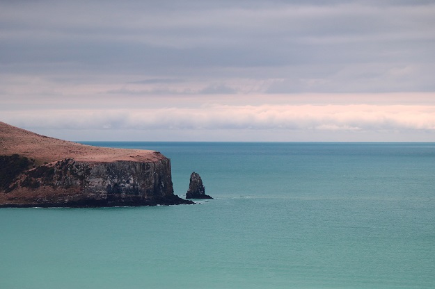
The survey area extends along the coast from Awaroa / Godley Head to Birdlings Flat, including Akaroa Harbour. Most data will be captured within 5 kilometres of the shore and up to 70 metres deep in some places to create detailed 3D maps of the seafloor.
The Banks Peninsula survey is one of three hydrographic surveys to take place around Te Waipounamu / South Island in the coming months, says Toitū Te Whenua’s Kaihautū Customer Delivery, Jan Pierce.
“Toitū Te Whenua’s hydrographic surveying program updates nautical charts and navigational information to maintain maritime safety for commercial and recreational mariners,” says Ms Pierce. “Any major hazards found through the survey will be notified through our fortnightly notices to mariners.
“Our main goal is navigation safety but the data collected can also be used for marine science and environmental management. We have been working with Environment Canterbury and the Department of Conservation to identify these opportunities,” she says.
Discovery Marine Limited (DML) has been contracted to carry out the Banks Peninsula survey using its offshore survey vessel MV Tranquil Image and smaller inshore vessel Tupaia. Tide gauges will be installed at key locations around the peninsula to support the work.
The survey does not capture data related to petroleum or minerals exploration and the echosounders on board the vessels operate at frequencies that have a minimal impact on marine mammals.
Once the data has been captured and processed, it will be made freely available through the LINZ Data Service. Updated charts will also be available through the free NZ Electronic Navigational Chart Service.
Surveys are also planned around Bluff, Stewart Island/Rakiura and the Tasman area.
Stay up to date by getting stories like this delivered to your inbox.
Sign up to receive our free weekly Spatial Source newsletter.


