

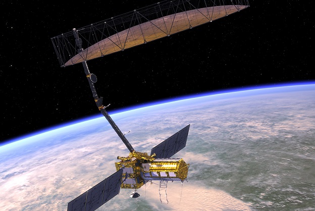
Artist’s impression of the NISAR satellite. Courtesy NASA.
NASA is set to develop a new fleet of Earth observation satellites which, it says, will “create a 3D, holistic view of Earth, from bedrock to atmosphere”.
The Earth System Observatory will provide data to help with climate change, disaster mitigation, bushfire and other natural hazard response and high-tech agriculture.
Areas of focus for the Observatory will include:
- How aerosols affect the global energy balance
- Clouds, convection and precipitation
- Drought assessment and forecasting, including water use in agriculture
- Surface biology and geology, including “fluxes of carbon, water, nutrients, and energy within and between ecosystems and the atmosphere, the ocean, and the Earth”
- Sea-level and landscape change driven by climate change, hazard forecasts and disaster assessments, including earthquakes, volcanoes, landslides and glaciers.
Although the Observatory is still in the formulation phase, NASA has already formed a partnership with the Indian Space Research Organisation (ISRO) to bring together “two different kinds of radar systems that can measure changes in Earth’s surface [of] less than a half-inch”.
This radar will be used by one of the Observatory’s pathfinder missions, called NISAR (NASA-ISRO synthetic aperture radar).
NISAR will help with the study of occurrences such as ice-sheet collapse and natural hazards such as earthquakes, volcanoes and landslides.
“I’ve seen firsthand the impact of hurricanes made more intense and destructive by climate change, like Maria and Irma,” said NASA Administrator, Bill Nelson.
“Over the past three decades, much of what we’ve learned about the Earth’s changing climate is built on NASA satellite observations and research.
“NASA’s new Earth System Observatory will expand that work, providing the world with an unprecedented understanding of our Earth’s climate system, arming us with next-generation data critical to mitigating climate change, and protecting our communities in the face of natural disasters.”
Stay up to date by getting stories like this delivered to your inbox.
Sign up to receive our free weekly Spatial Source newsletter.


