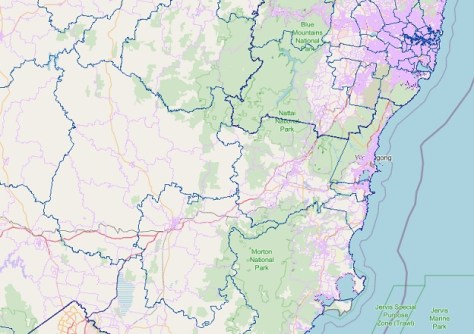
An updated version of the NSW Government’s central resource for Sharing and Enabling Environmental Data (SEED) map has been released, following consultation with users.
The SEED team says the new map marks “a significant stride forward in our core services,” adding that while with the upgrade, “users can expect simpler navigation, increased interactivity, enhanced security, and scalability for future needs”.
SEED has adopted VertiGIS technology, which is not widely used in the NSW Government. According to SEED, “By modernising our infrastructure, we’re setting an example and encouraging others to follow suit”.
The benefits of the upgraded SEED Map are:
- A more user-friendly interface to increase productivity and satisfaction.
- Increased system efficiency through routine maintenance and security updates.
- Data that is more accessible to non-specialists.
- Expanding capabilities to meet the increasing demands of users.


