

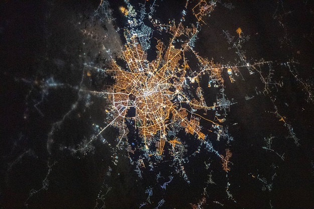
The city of Bucharest is the subject of one part of the OSGeo UN Committee Educational Challenge. Courtesy NASA.
The OSGeo UN Committee Educational Challenge is offering two US$3,000 prizes for the best proposals for developing new open geospatial educational material.
The first of the challenges is to develop a self-paced tutorial that covers new functionalities in the QGIS platform.
Those functionalities must include the newest plugins for processing satellite data, including machine learning modules. The tutorial must be developed using the Sphinx documentation generator tool.
The second challenge is to develop workshop material for using pgRouting to support the UN Sustainable Development Goals (SDG).
According to the challenge organisers, pgRouting “is growing faster than the development of the official workshop material”.
With this challenge, applicants must propose how they would expand the pgRouting workshop material for Bucharest, taking into account three of the SDGs and other technical matters.
Detailed application criteria are available on the Challenge website.
The prize winners will be assisted by mentors provided by the UN Open GIS Initiative and OSGeo, and the winning material will be posted to the OSGeo wiki site.
The UN Open GIS Initiative seeks to “collaboratively and cooperatively develop, validate, assess, migrate, and implement sound technical capabilities with all the appropriate documentation and training that in the end provides a united effort to improve the effectiveness and efficiency of utilising Open Source GIS around the world”.
Stay up to date by getting stories like this delivered to your inbox.
Sign up to receive our free weekly Spatial Source newsletter.


