New technology means that governments and surveyors can leverage reliable and cost-effective continuous movement monitoring at more sites than ever before.

In October 2022, a large active landslip at the Bogong High Plains Road cut off a vital transport link between Melbourne and Falls Creek, causing both community evacuations and negative economic implications for the tourist region.
Victoria’s Department of Transport and Planning undertook remediation efforts to restore the road and re-engineer the high slope. A collaboration with Veris and WSP consulting engineers led to the strategic placement of 25 automated monitoring devices from Australian firm Kurloo.
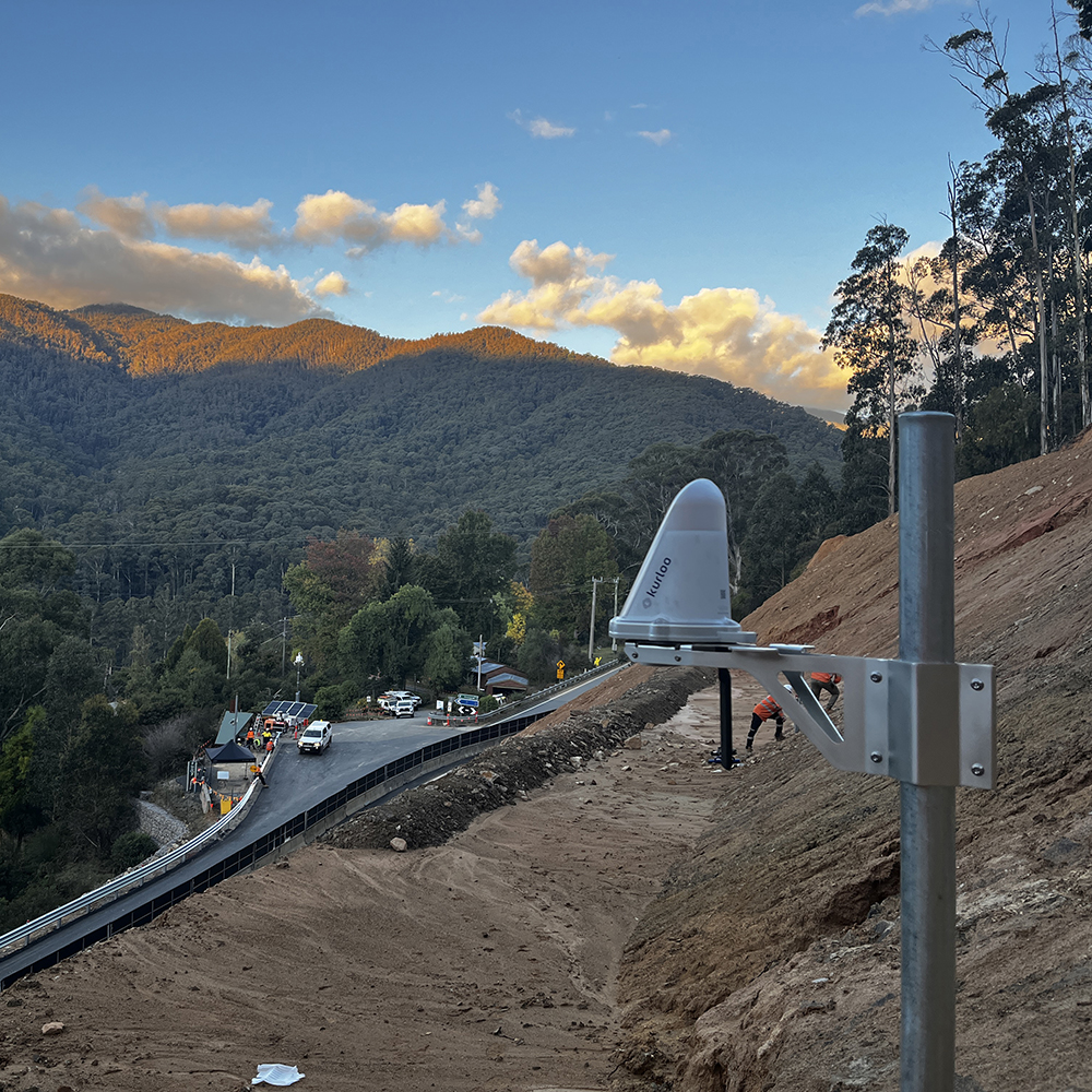
The technology accurately tracked 4D movement throughout the remediation project. Alongside co-located tilt sensors, Kurloo devices provided near-real-time insights into potential differential settlement and drift of the slip face, improving safety for workers and the public.
While the technology proved instrumental for accurate monitoring during and after the remediation efforts, it demonstrates how important continuous monitoring is for medium-to-high-risk locations.
Kurloo’s autonomous solution provides daily insight though 4D data and notification alerts. This enables timely and informed preventative decision-making before failures occur.
Unlike in years gone by, these solutions are cost-effective and scalable – significantly reducing the likelihood that future landslides go undetected.
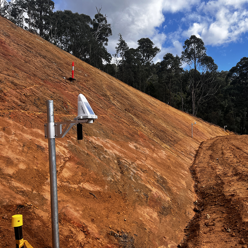
As a slope where instability correlated strongly with rainfall, Bogong High Plains Road is an ideal candidate for continuous monitoring to mitigate risk and effectively manage infrastructure with predictive maintenance.
Kurloo has been rolling out its Australian-developed GNSS and IoT-powered monitoring solution to mines, ports, dams and infrastructure throughout Australia and recently in New Zealand.
The company says that its daily cost-effective and precise measurements provide a comprehensive understanding of long-term asset movement and grant certainty to everyone around stability.