

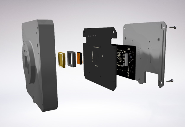
Image courtesy Infinity Avionics
Canberra-based Infinity Avionics has announced that it will develop high-resolution cameras for applications such as earth observation, space-based space surveillance and spacecraft monitoring.
Igor Dimitrijevic, the company’s CEO and co-founder, said the cameras will improve Australia’s “earth observation and space domain awareness capabilities”.
“We’ve seen great success with our existing products, the SelfieCam and SelfieCam-Video, for spacecraft monitoring. These have already been used in many Australian and international space missions to monitor spacecraft deployments,” he said.
“We have a team with extensive spacecraft design experience and advanced flight-proven processor capabilities, so Infinity Avionics is well poised to design and manufacture world-leading space camera solutions in Australia.”
The first camera system, developed in partnership with HEO Robotics and the Australian National University, is set to be launched in 2022 to expand the on-orbit capabilities for HEO Robotics.
The imaging system will be used to conduct space-based inspection operations in orbits which are currently not covered by the HEO sensor network, achieving a new key milestone.
“Cameras owned and operated by HEO Robotics, like the Holmes imaging system developed in collaboration with Infinity Avionics and ANU, allows us to further expand our coverage in LEO and provide our customers with timely insights,” said HEO co-founder and CTO Dr Hiranya Jayakody.
Stay up to date by getting stories like this delivered to your inbox.
Sign up to receive our free weekly Spatial Source newsletter.


