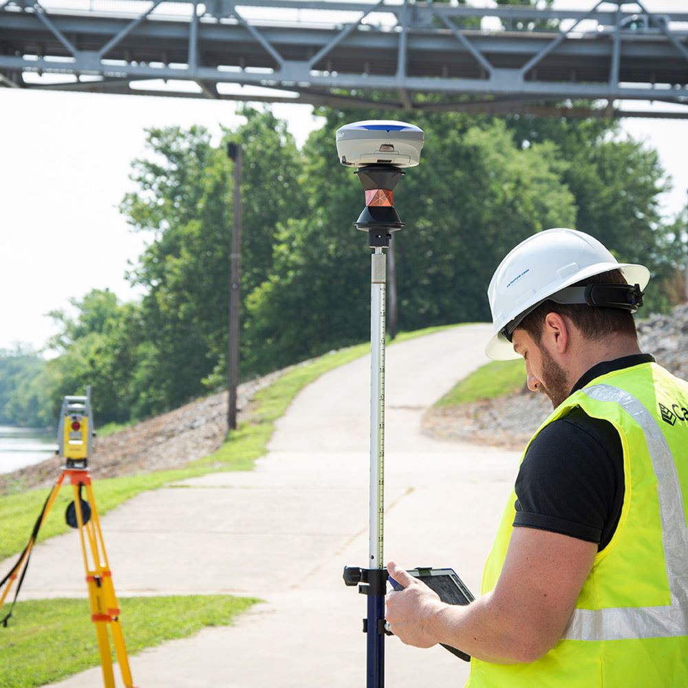
Carlson SurvPC Vs6 Hybrid+ enables working with mixed brands of GNSS and RTS. If SurvPC has driver support for your GNSS and RTS devices SurvPC Hybrid will allow you to interface with both.
Follow Me: When the ‘Follow Me’ position option is enabled, the RTS will automatically ‘follow’ the GNSS receiver as it moves, turning every few seconds to the location of the GNSS so that it is always ready to take a measurement at any time. This is sometimes called ‘GNSS Tracking’, as the RTS is following the prism not by optical tracking, but by using the location of the GNSS.
Smart Staking: provides directions from the GNSS when the RTS position isn’t available, then automatically locks back on the prism when you reach your destination.
Backup Tracking: SurvPC will automatically display the backup (and inactive) instrument position on the screen when the primary (and active) instrument’s position is unavailable.
Require Cross-Check on Store: This forces SurvPC to calculate a cross-check on every stored point. When enabled, this option will affect workflow based on mode. In GNSS Mode: If the RTS is not locked on the prism, a search will be performed. In RTS Mode: If the GNSS is not Fixed RTK, the user will be warned. This option forces the software to check both instrument positions for each stored point, allowing the user to see a warning if either instrument’s position is sub-optimal.
Backup Storing: The backup position will be stored when the primary (and active) instrument’s position is unavailable. For more manual control, leave this option disabled, and simply tap the quick-switch icon in the top bar to switch to the active instrument and store the position.
Smart Lock: SurvPC will monitor the motion of the GNSS. When the movement of the GNSS slows (i.e., the surveyor is slowing to take a measurement), the RTS will rotate to the prism and optically lock on to the prism.
IMU: Hybrid+ can take full advantage of tilt sensors on the GNSS receiver by applying them to both the RTS and the GNSS.
Michael Manning
Managing Director of Carlson Software Australia Pty Ltd
+61 4 1239 2674


