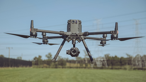
The long flight time of the Matrice 300 combined with the new 45...
CR Kennedy
-
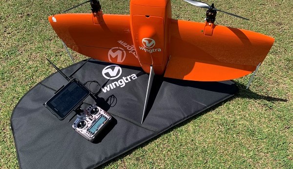
The surveyor-tested WingtraOne VTOL mapping drone delivers superior imagery over a long range...
2021-06-16
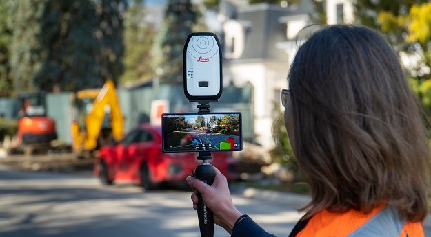
vGIS Augmented Reality platform seamlessly brings together GIS, BIM and reality mesh data2021-04-07
‘Tested, tried and proven’ Leica instruments and software highlight the complex system monitoring...2021-03-16
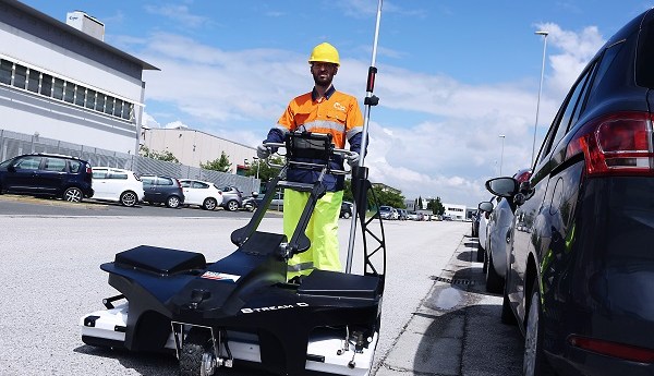
ADVERTISEMENTHow IDS GeoRadar’s massive array system empowered a local council to turn underground...2020-09-02
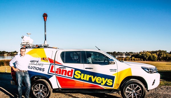
Land Surveys and the team at CR Kennedy prove how seamlessly MLS and...2020-07-17
CR Kennedy will distribute MineOps underground survey software in Australia.2020-05-13
IDS GeoRadar’s latest GDR boasts impressive specs for extensive underground asset mapping.2020-04-29
C.R. Kennedy has built a solid reputation as a leading distributor of surveying...2019-08-29
CR Kennedy will supply and maintain over 50 utility locating systems for Comdain.2019-05-22
Leica Geosystems and local distributor, CR Kennedy, bring a series of events aimed...2018-10-17
Parazero SafeAir systems monitor UAV flights, cutting power and deploying a parachute in...2018-08-07
The event will take place in Townsville on September 12-14.2018-06-27
The Leica Geosystems BLK360 Imaging Laser Scanner caused a sensation when announced in...2018-05-29
Little Ripper Rescue drone saves two teenagers in world-first UAV rescue2018-01-24
The Leica Geosystems BLK360 Imaging Laser Scanner is filling a niche surveyors didn’t...2016-03-07
QZSS trials have been undertaken at the Rice Research Australia farm in southern...2015-04-14
Aerial photography company, Phase One Industrial, has signed a dealership agreement w/ C.R....2015-02-24
SSSI has welcomed CR Kennedy as the Institute’s new Titanium Sustaining Partner.2014-08-05
The 2014 Australian Institute of Mine Surveyors National Conference will be held this...2014-05-27
Newsletter
Sign up now to stay up to date about all the news from Spatial Source. You will get a newsletter every week with the latest news.
© 2025 Spatial Source. All Rights Reserved.
Powered by WordPress. Designed by


