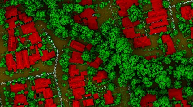
LiDAR is the most precise way to measure tree canopies and gauge changes...
ctool-1
-
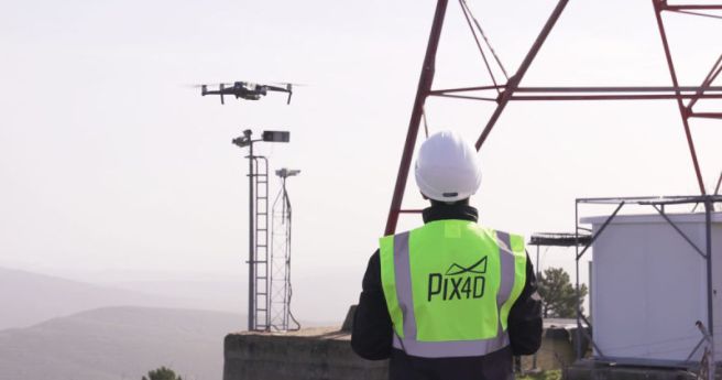
New flight app and a cloud-based platform allow for automated inspections and asset...
2020-07-22
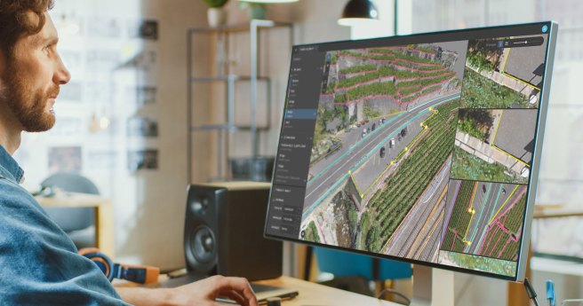
Pix4Dsurvey bridges the gap between photogrammetry and CAD, expanding today’s surveying possibilities. Pix4Dsurvey...2020-06-06
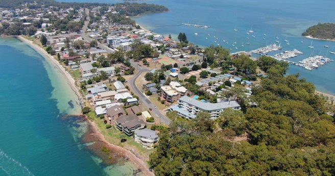
Port Stephens Council invites expression of interests from suitable providers for GIS software...2020-03-12
ADVERTISEMENTA Queensland firm has provided its client with high precision design criteria in...2017-10-16
Newsletter
Sign up now to stay up to date about all the news from Spatial Source. You will get a newsletter every week with the latest news.
© 2026 Spatial Source. All Rights Reserved.
Powered by WordPress. Designed by ![]()


