The pandemic we are currently experiencing has changed the way we work. As...
ctool-2
-
In this webinar from 3 March 2022, Bentley Systems launches the most complete...
2022-03-09
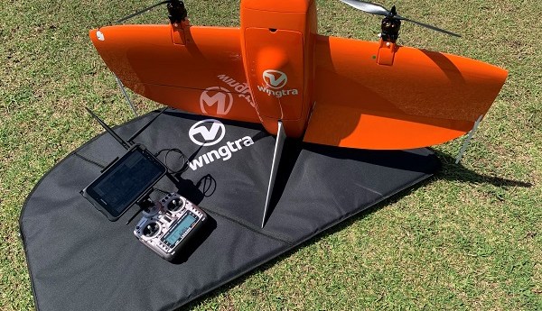
The surveyor-tested WingtraOne VTOL mapping drone delivers superior imagery over a long range...2021-06-16
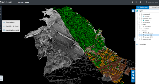
Software start-up ScanX offers a new cloud-based platform to upload and automate surveyors’...2021-04-27
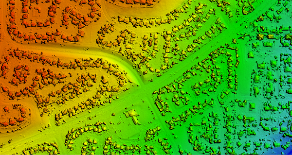
ADVERTISEMENTSimActive’s Correlator3D product is a high-end photogrammetry software providing full control over the...2020-11-17
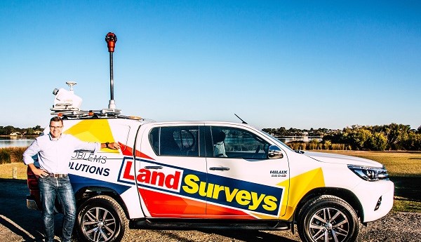
Land Surveys and the team at CR Kennedy prove how seamlessly MLS and...2020-07-17
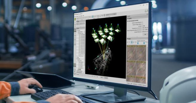
Pix4Dmapper is the professional photogrammetry software that transforms your images into accurate and...2019-05-12
Immune to magnetic disturbances and calibration-free – no need to level2017-10-05
If you’ve worked in, or been a consultant to, a utility, then you...2016-10-11
Newsletter
Sign up now to stay up to date about all the news from Spatial Source. You will get a newsletter every week with the latest news.
© 2025 Spatial Source. All Rights Reserved.
Powered by WordPress. Designed by


