The move will enable Esri ArcGIS users to take advantage of Emlid’s GNSS...
ESRI
-
Australian and New Zealand entities have received ‘Special Achievement in GIS’ awards at...
2021-07-19
GIS Day turns a big 21 with celebrations and virtual events across the...2020-11-18
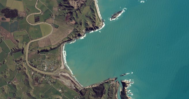
New Zealand Esri users will enjoy streamlined access to Planet imagery under the...2020-10-28
ADVERTISEMENTThe ACT government has received the Special Achievement in GIS award for the...2020-07-14
Organisers say 2020 conference to emphasise spatial tech’s role in meeting immediate global...2020-02-26
For more than 20 years GIS Day has provided a platform to promote...2019-11-13
APA group has received a Special Achievement in GIS at the Esri user...2019-07-17
Using spatial methods to identify disability service gaps in Queensland.2019-04-17
710,000 square km of surveyed seafloor and the most detailed subsea topographic maps...2018-07-18
As Parliament reviews the Space Activities Act, explore over 16,500 objects we’ve flung...2018-06-05
ArcGIS users may soon access a suite of powerful data extraction tools.2018-03-06
In an emergency, the most valuable source of data might come from those...2017-09-04
Finally, the two biggest causes of traffic headaches are talking.2017-08-29
A third-year QUT student has received international recognition for his hydrologic mapping tool.2017-08-09
Security expert advises the nation’s senior authorities to use real-time spatial data to...2017-07-18
Near real-time imagery available in GIS platforms could soon be a reality.2017-07-12
The Ecological Marine Units app offers 3D interactive maps to monitor and measure...2017-06-14
Slashing traffic congestion and infrastructure development costs spatially.2017-05-30
Newsletter
Sign up now to stay up to date about all the news from Spatial Source. You will get a newsletter every week with the latest news.
© 2025 Spatial Source. All Rights Reserved.
Powered by WordPress. Designed by


