Datasets covering roads, rivers, boundary lines and other themes are now available on...
open data
-
The dataset includes 86 million km of roads worldwide and is already in...
2025-01-10
The funding, supported by FrontierSI and UNSW Sydney, will speed the commercial rollout...2024-11-27
Enjoy our new weekly compilation of geospatial news snippets from across Australia and...2024-10-30
ADVERTISEMENTSpatial data is at or near the top of the lists of open...2021-03-26
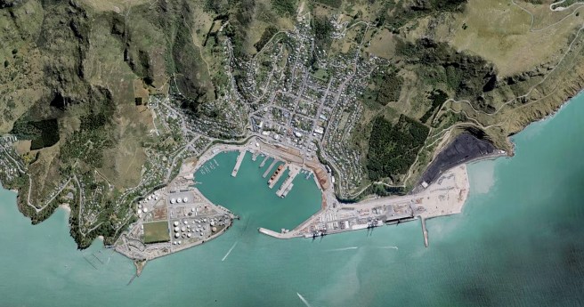
Land Information New Zealand’s free new base maps offer resolution accurate to 5cm...2020-08-18
TERN’s national ecosystem surveillance network now boasts over 625 monitoring sites.2018-06-12
The VicRoads Open Data Site features more than 50 high-quality and publicly available...2015-09-08
The Australian Government is conducting a comprehensive study of companies that use open...2015-05-19
Last week saw the spatial industry’s premier event, Locate, take place in Brisbane.2015-03-17
February 21 marks Open Data Day, a global day of open data hackathons...2015-02-10
Comprehensive digital maps of the country’s soil and landscape attributes have been published.2014-12-09
1,700 new maps and datasets to show local communities any threatened species in...2014-09-23
The next issue of Position will feature GIS in mainstream and govt., UAVs,...2014-09-09
At the recent OGC meetings in Geneva, members of the OGC formed a...2014-08-19
Boundless calls for OpenGeo Suite users to show off their wares.2014-08-19
The annual FOSS4G open source geospatial conference is now calling for papers and...2014-07-29
Initiative aims to give users access to a single platform for Government geospatial...2014-07-15
The Office of Spatial Policy has been officially transferred to the Department of...2014-06-03
Maps as Art; on new GNSS; US/Canada; death of paper; open data grows...2014-05-13
Newsletter
Sign up now to stay up to date about all the news from Spatial Source. You will get a newsletter every week with the latest news.
© 2025 Spatial Source. All Rights Reserved.
Powered by WordPress. Designed by


