

Image courtesy Mackay Regional Council
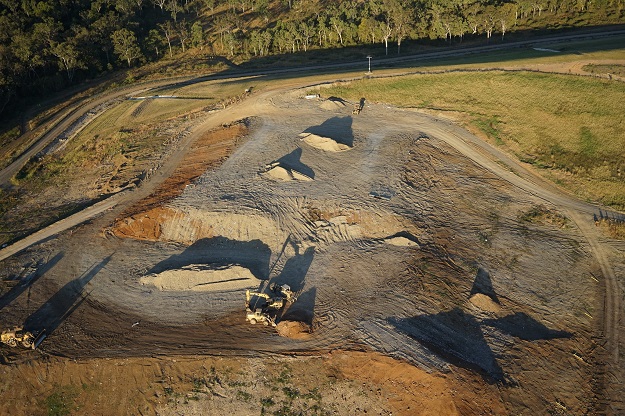
Mackay Regional Council’s Waste Services department recently employed drone technology to conduct environmental testing at 16 landfill sites across the region.
The drone was fitted with infrared sensors capable of measuring specific gases of interest. Importantly, was not equipped with cameras, so citizen privacy was ensured.
The Council has been using drones in an effort to cut down on the amount of road kilometres travelled, as well as to gain access to more areas than could traditionally be covered.
Previously, council staff would have to walk across the landfill sites carrying a handheld monitor. This work was somewhat perilous, as the sites are uneven and there are potential tripping hazards.
Now, instead of taking two or three days to complete testing at each site, the drone enables the work to be done in just a few hours.
Stay up to date by getting stories like this delivered to your inbox.
Sign up to receive our free weekly Spatial Source newsletter.


