

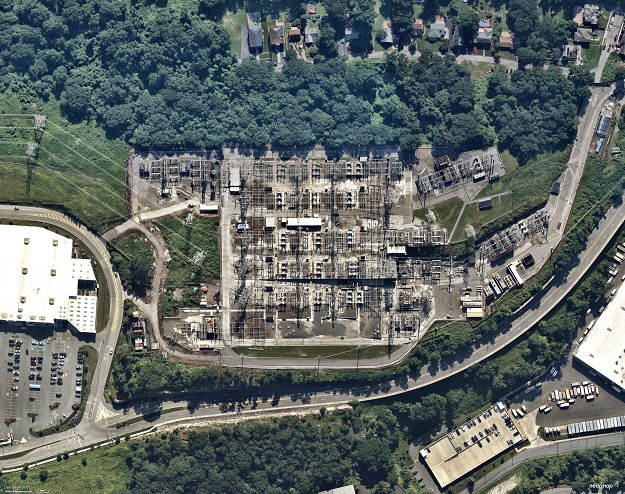
Image courtesy Nearmap
UP42 has announced that it will soon make available Nearmap’s high-resolution aerial imagery of major urban areas in the United States, Canada, Australia and New Zealand.
The initial offering will include the Nearmap vertical imagery, which is updated multiple times each year at 5.5- to 7.5-cm spatial resolution for more than 1,740 urban areas in the US and more than 100 in Australia.
The Nearmap Vertical imagery archive dates from 2011 in Australia and New Zealand, and 2014 in the US, with an annual refresh schedule of 3x to 6x per year. New imagery is orthorectified, georeferenced, and uploaded to the cloud for purchase within days of collection.
“Our partnership with Nearmap delivers value to UP42 customers by providing direct access to high-precision urban imagery of remarkable quality and detail,” said UP42 CEO Sean Wiid.
“The extensive Nearmap archive and refresh rate combined with other geospatial data sets on the UP42 platform enable highly detailed monitoring applications related to asset management in the utility, construction, and local government sectors.”
Customers will be able to integrate the Nearmap Vertical imagery with other data sets available from UP42. The marketplace currently contains more than 160 products from more than 50 geospatial organisations.
Stay up to date by getting stories like this delivered to your inbox.
Sign up to receive our free weekly Spatial Source newsletter.


